SALT LAKE CITY (ABC4) — Utahns waking up on Thursday morning have been greeted by a drastic change in weather from what they have grown accustomed to over the last few weeks.
Fall and the month of October started with several days of unseasonably high heat with temperatures about 20 degrees above average. But on Oct. 17, daytime highs cooled off as a cold front started its move into the Beehive State.
But this cold front is bringing more than just cooler weather. Rain filled the morning commute and the National Weather Service warned the cold front could bring some heavy snow to Utah’s mountains.
A glance toward Utah’s ski resorts shows the snow has already begun to pile up early Thursday morning. Snow has already piled on a few inches on the Snowbird snow stake while the Alta Ski Area snow stake is not far behind.
-
(Courtesy: Snowbird) -
(Courtesy: Alta Ski Area)


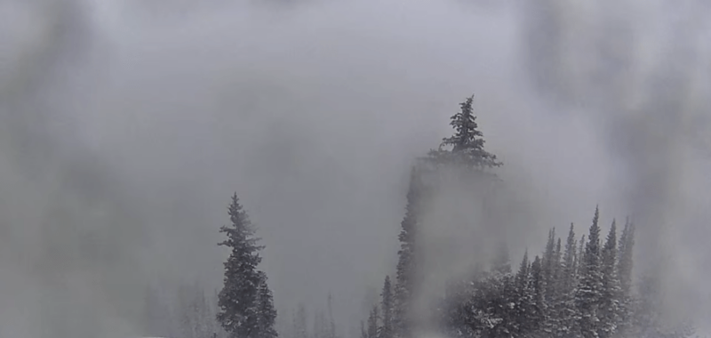
Other live cameras at Snowbird and Alta Ski Area show snow completely blanketing the ground at Hidden Peak and Sugarloaf Peak, respectively. Meanwhile, the Great Western camera at Brighton Ski Resort is covered with snow as of 10 a.m. Thursday, hiding what views of frosted trees that were visible earlier in the day.


While the snow may be a welcome sight to many Utahns, others would rather hold on to the summer months for as long as possible. Or perhaps, they are OK with the snow as long as it “stays up in the mountains.”
Well good news, snow from this mid-October snow is not expected to reach the valley floor. While there is a chance of valley snow, the National Weather Service said the snow is expected to stay above 5,000 feet – about 700 feet above the elevation of Salt Lake City.
ABC4’s 4Warn Weather Team said the Cottonwood Canyons could see as much as two feet of snow by Friday night while the Wasatch Mountains south of I-80 could see anywhere from 10 to 18 inches of fresh powder.

Still, there are several winter warnings and advisories in place for Utah stretching from Logan to St. George.
A Winter Storm Warning for the central and southern mountains including Joes Valley, Cove Fort, Fish Lake, Alton, and Brian Head until noon on Saturday. NWS warns up to 22 inches of heavy snow could impact the area, affecting driving conditions.
The drastic drop in temperatures could also bring freezing overnight lows, prompting a Freeze Watch for Utah County and a Freeze Warning for central and southern Utah. NWS said Utahns can expect widespread freezing temperatures with some areas getting as low as 22 degrees. These conditions could kill crops and other sensitive vegetation or damage any unprotected outdoor plumbing in the area.
You can stay up-to-date with October’s winter storm with ABC4’s 4Warn Weather Team both online and on-air.
Copyright 2024 Nexstar Media, Inc. All rights reserved. This material may not be published, broadcast, rewritten, or redistributed.
For the latest news, weather, sports, and streaming video, head to ABC4 Utah.